Location Intelligence — The Value of Where
Many organizations rely on GIS technology to create Location Intelligence (LI), which empowers understanding, insight, decision-making and prediction. But what exactly is Location Intelligence? Let’s break it down.
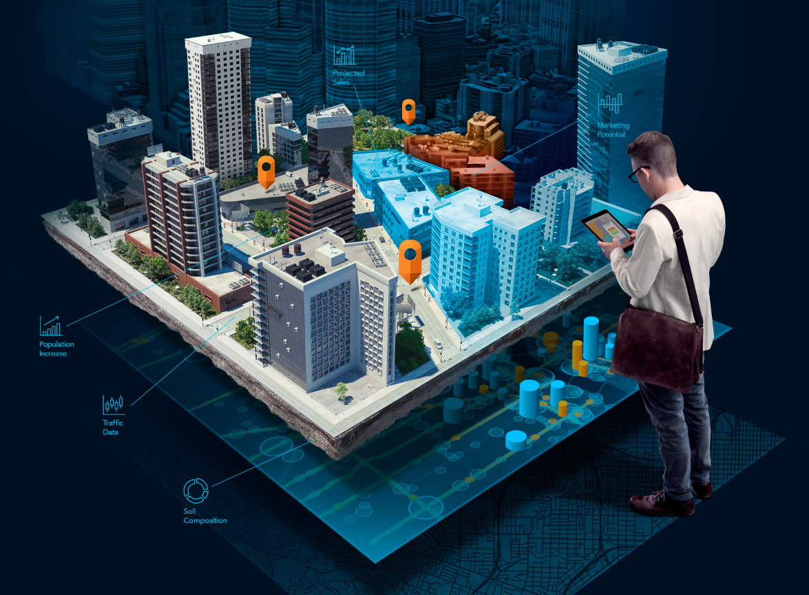
Through analysis and visualization of geospatial data, Location Intelligence is achieved by adding layers of data, such as demographics, traffic and weather to a smart map. With this map, organizations can begin to understand why things happen where they do.
LI can be used to select a location for the next retail store in an area, solve traffic flow problems, repair and maintain infrastructure, create sufficient supply chains, track where crops come from, understand the trajectories of severe weather, determine wildfire risks, plan farming locations and much more.
One organization currently utilizing Location Intelligence is Walgreens. With more than 8,000 stores across the US, Walgreens has embraced LI, and is using it…

