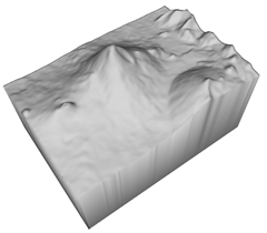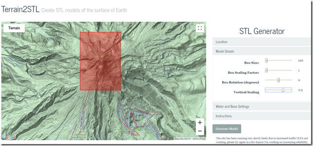
Have you ever wanted to create a STL model or 3D physical print of a mountain range, a valley, or something from the topology of our earth? I found a way using a website that generates a 3D STL file of any area. Make sure you exaggerate the Z vertical because in a 3D model the geography can seem flat due to the vertical to horizontal ratio.


