Aerial data capture reduces cost, saves time, and improves communication when building infrastructure

Pinto Creek Bridge
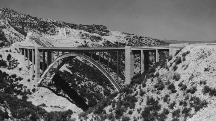
Built in 1949, the Pinto Creek Bridge is a historic crossing on Highway 60, an hour and a half east of Phoenix, Arizona at the foothills of the Tonto National Forest. Built as part of President Roosevelt’s public works initiative, the steel arch bridge sits atop a steep ravine with scenic views of the countryside.
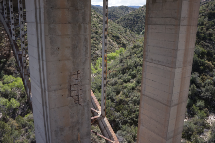
With over 6 decades of use, however, the bridge has started to show its age: inspections and appraisals have returned poor ratings, and the bridge was considered “structurally deficient” in a 2014 review.

The concrete is starting to fall off the pillars, leaving the rebar in plain view.
Though the bridge is still open and in use, its decay led to the decision to replace it. Because there are no easy detours on this roadway, the replacement bridge will be built just north of the current bridge, and then the old Pinto Creek bridge will be…

