From the Autodesk App Store:
GeoToCAD™ for Autodesk® Revit® is a technology preview to demonstrate establishing a bi-directional connection between Revit, and ArcGIS®, a geospatial platform.
The solution offers the following functions:
- Connect to ArcGIS;
- Export a 3D model from Revit to ArcGIS;
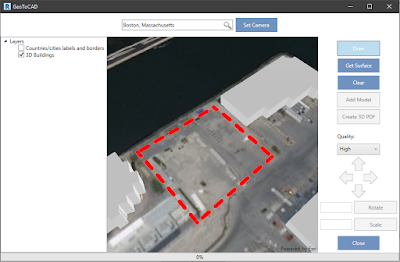
- Import a selected area of the Earth surface from ArcGIS to Revit;
- Place a model on the selected surface and then preview this model on ArcGIS map;
- Save a model placed on the surface as a 3D PDF file.


